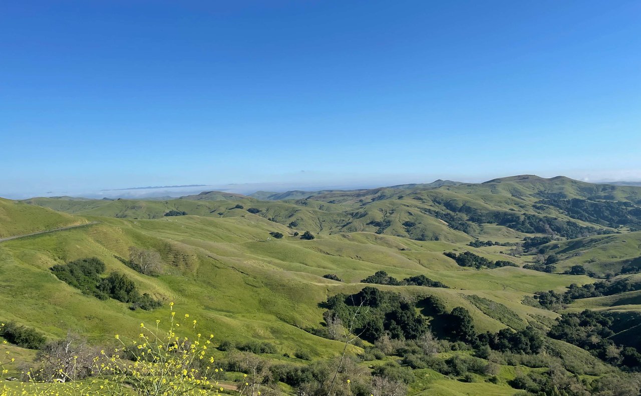
Park at the old Reagan Ranch trailhead off Mulholland Highway and nobody stops you. There's no fee booth here, no gate, just a dirt turnout and a trail that heads out through grassland toward a view of Malibu Lake. Dogs are permitted on this out-and-back route.
Keep walking past the viewpoint junction, though, and loop back through Deer Leg Trail and Yearling Trail instead of retracing your steps, and you've crossed into Malibu Creek State Park proper. Dogs are not permitted on any backcountry trail inside the state park, full stop, leashed or not. The out-and-back is fine. The loop isn't. The dog-access rule changes at the property boundary.
The park includes former ranch properties with different histories and owners. Dog rules differ between the Reagan Ranch out-and-back and connected state park trails.
Three Ranches Wearing One Name
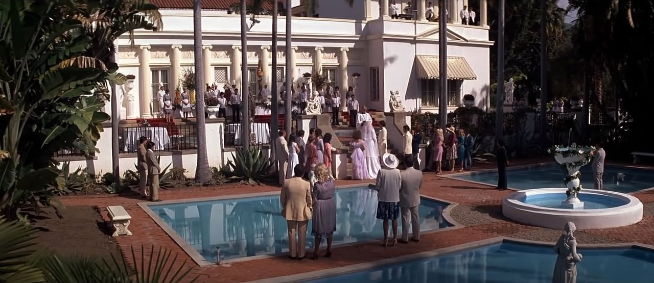
Malibu Creek State Park covers 8,215 acres and didn't open to the public as a unified park until 1976, two years after the state formally established it. Before that, this was three working properties. Twentieth Century Fox bought the core parcel in 1946 and ran it as a movie ranch for decades, filming Planet of the Apes, Roots, and M*A*S*H against its sandstone outcrops. Ronald Reagan owned a neighboring spread called Yearling Row from 1951 until 1966, when he sold it to help cover debts from his California governor's campaign that year. Decades later, the state annexed King Gillette Ranch, whose Spanish Colonial Revival main house was designed in the 1920s by architect Wallace Neff for King C. Gillette, the razor manufacturer.
A large share of the park's acreage came from Bob Hope, who donated land here, and the boundaries have kept shifting since. Some former property boundaries remain within the park, and connected trails cross between areas with different rules.
Trail Routes and Dog Access
If you're planning a route from a Calabasas driveway, the practical question isn't how far you're walking. It's which parcel you're walking on.
| Route | Distance | What's there | Dogs |
|---|---|---|---|
| Reagan Ranch out-and-back to Malibu Lake viewpoint | Round trip, moderate grade | Grassland, equestrian traffic, lake overlook | Permitted |
| Same trail extended via Deer Leg and Yearling into a loop | Longer loop | Crosses into state park land | Not permitted |
| Crags Road to Rock Pool and the M*A*S*H site | About 4.8 miles round trip | Swimming hole, preserved set with a restored ambulance | Not permitted |
| Bulldog Road climb | 3.4 miles, 1,700 feet of gain | Ocean and canyon views at the top | Not permitted |
| Little Bulldog Loop | Just over 3 miles round trip | Dips into the Malibou Lake community | Not permitted |
Once you're inside the state park's interior, the rule doesn't bend. Dogs are allowed in the day-use picnic areas near the main lot and in the campground. They are not allowed on any dirt road or backcountry trail, which covers essentially everything past the parking area, including Crags Road toward the Rock Pool and the entire length of Bulldog Road. The Yearling Trail loop crosses the property boundary, where the dog-access rule changes.
The Rock Pool and the Set That Wouldn't Rot
The hike to the old M*A*S*H filming site runs about 2.4 miles each way from the main trailhead, most of it exposed to sun, over rocky and occasionally narrow ground. Rock Pool sits along the same route and draws its own crowd on warm afternoons, since it's one of the few spots in the park where swimming is the actual point of the hike rather than a bonus.
The set itself outlasted the show by design and then by accident. The original M*A*S*H set stood for about six years after filming wrapped before the sun took its toll, and what remains today, including one restored ambulance, is the work of a volunteer group that has kept the site maintained ever since. There are shaded picnic tables at the location, which makes it a reasonable turnaround point even if you don't go the extra distance to Reagan Ranch itself.
Bulldog Road, and the Version That Doesn't Require It
Bulldog Road is the climb locals mean when they say a hike here actually worked their legs. It gains 1,700 feet over 3.4 miles, which is enough grade that the payoff, a view that takes in both the park and the ocean, feels earned rather than incidental. For anyone who wants the reward without the full grind, the Little Bulldog Loop trims the distance to just over 3 miles round trip by dipping into the Malibou Lake community and back rather than pushing all the way to the summit.
For those chasing serious mileage, the Big Bulldog Loop runs 15 miles from the main parking lot, threading down through Tapia Park and up Mesa Peak Motorway, a 2.5-mile climb along the wall of Malibu Canyon, before descending Bulldog back into the park. Both the full Bulldog climb and the Mesa Peak route eventually connect to the Backbone Trail, the 67-mile spine that runs the length of the Santa Monica Mountains.
What Costs Money and What Doesn't
The main entrance on Las Virgenes Road charges $3 an hour with a $12 daily cap, and the visitor center there keeps limited hours, open only Saturdays and Sundays from noon to 4 p.m., roughly a mile in from the lower lot. Gates for the park run 8 a.m. to 10 p.m.
Residents who'd rather skip the fee have options, since several trailheads that feed the same network of trails sit outside the paid entrance entirely. The Reagan Ranch turnout off Mulholland Highway is free. So is the Grasslands trailhead a few hundred yards to the west, and the Bark Park entrance on Las Virgenes Road about a mile south of the freeway. All three connect into the same trail system that the paid lot accesses, which means the fee is really a convenience charge for the closest parking to Rock Pool and the M*A*S*H site, not a toll on the park itself.
One more detail worth carrying into fire season. The park maintains standing closure protocols for Red Flag Warning days, meaning trails and sometimes the entire park can shut without much notice when conditions turn dry and windy. The park absorbed real damage during the 2018 Woolsey Fire, which hit the western end hardest and destroyed what remained of the old Reagan Ranch structures. It reopened afterward, but the closure playbook that fire left behind is still active, so a hot, gusty forecast is worth a check of the park's status before you drive over.
Planning Your Route
None of this changes what the park is on a map. It changes what it is on your feet. A resident who knows that the Reagan Ranch out-and-back is fine for a dog but the Yearling loop isn't, that Rock Pool means no dogs at all, that Bulldog rewards the climb and Little Bulldog forgives you for skipping it, is reading a different park than the one described by acreage and trail counts alone. Knowing the route and its dog-access rules helps you get more out of a Tuesday morning here.
That kind of granular, on-the-ground knowledge of Calabasas is the same instinct we bring to the properties along Las Virgenes Road, Mulholland, and the ridgelines above them. If you're weighing a move near this park, or wondering what a home backing onto this trail system is actually worth, the Eric Haskell Group can walk you through it with the same attention to detail.
This article is general information, not legal, tax or financial advice. Consult a qualified professional about your situation.